Golf of Marrakech

February 2005
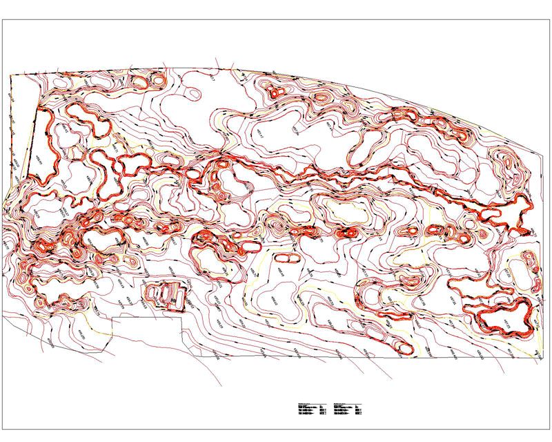
Project Management Assistance for the 3D modeling of earthworks, calculating volumetrics, profiles and sections of channel.
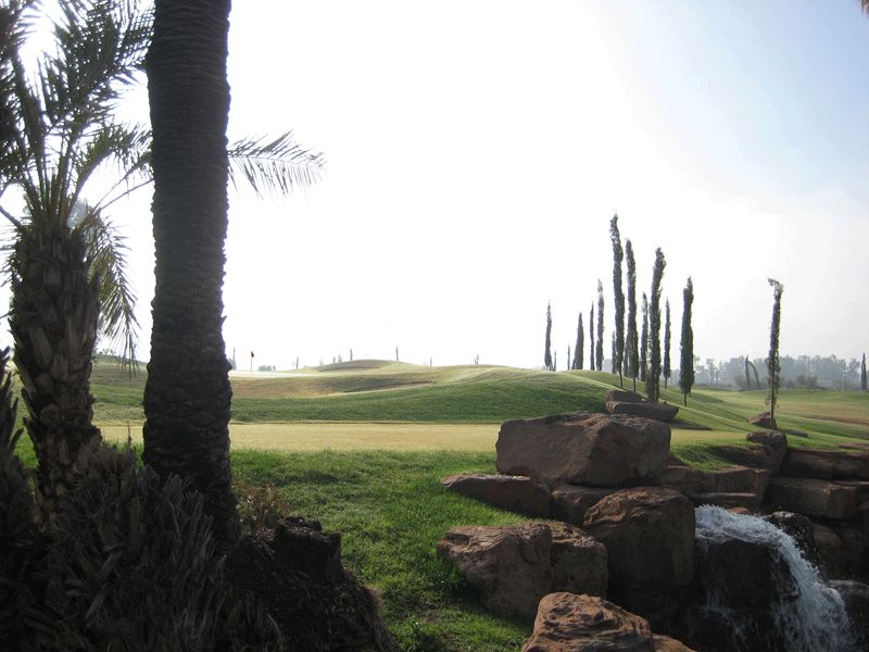
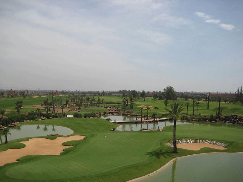
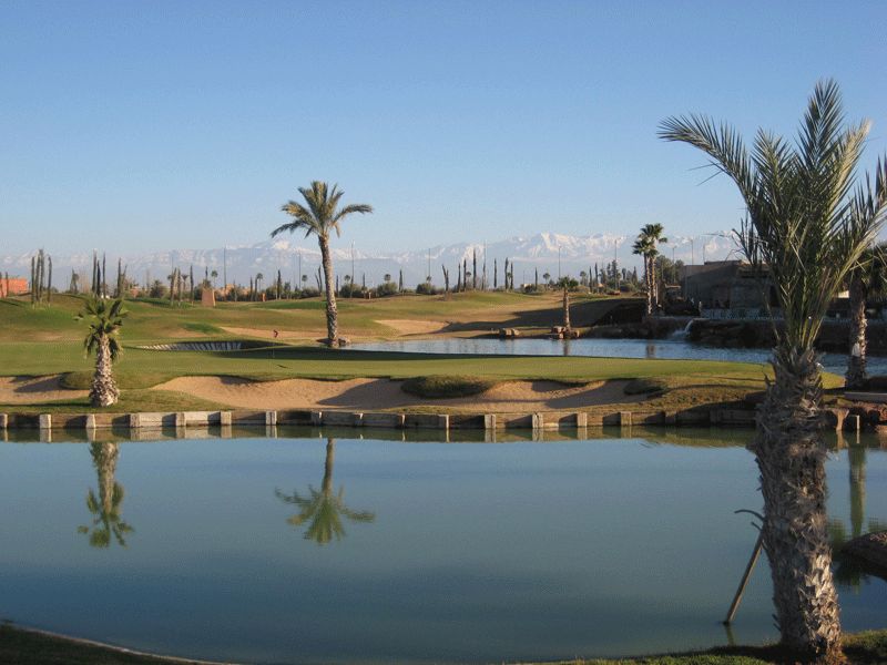
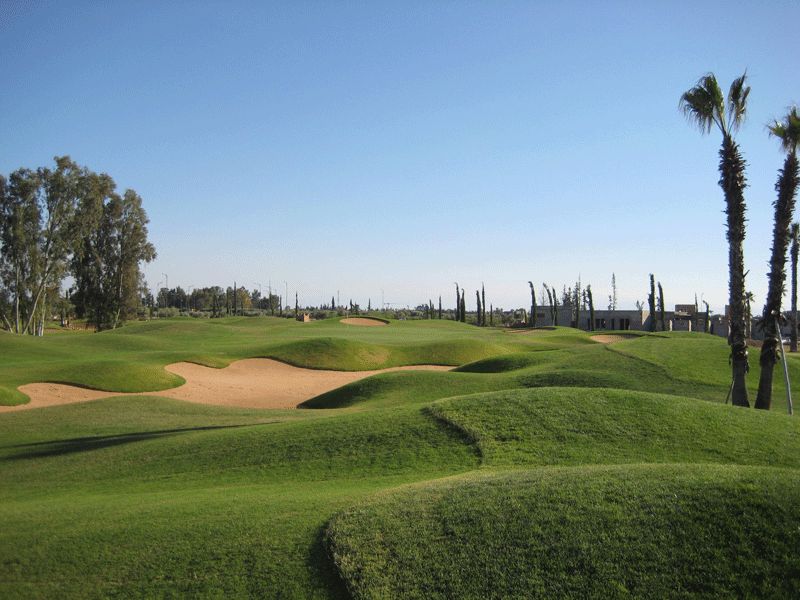
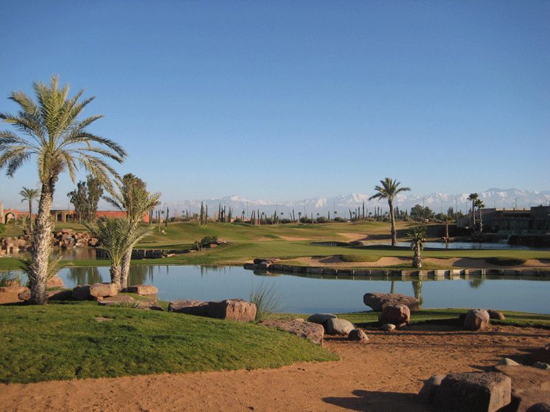
For this golf course, we have adjusted the “project” spot heights to find the best cut/fill balance with the help of 3D terrain modeling and calculation simulations.
The resulting landscape offered less than 5% variation from the calculations.
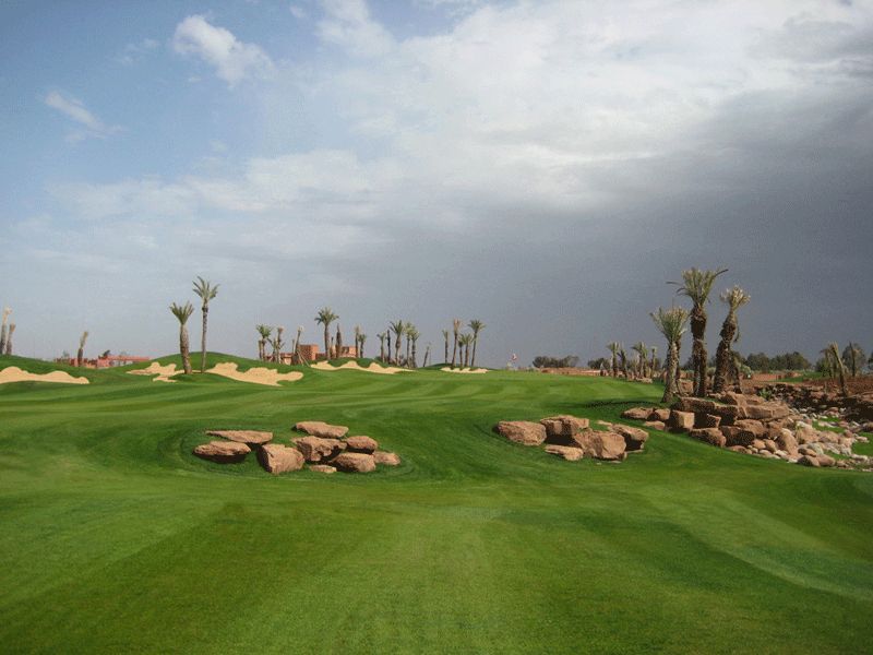
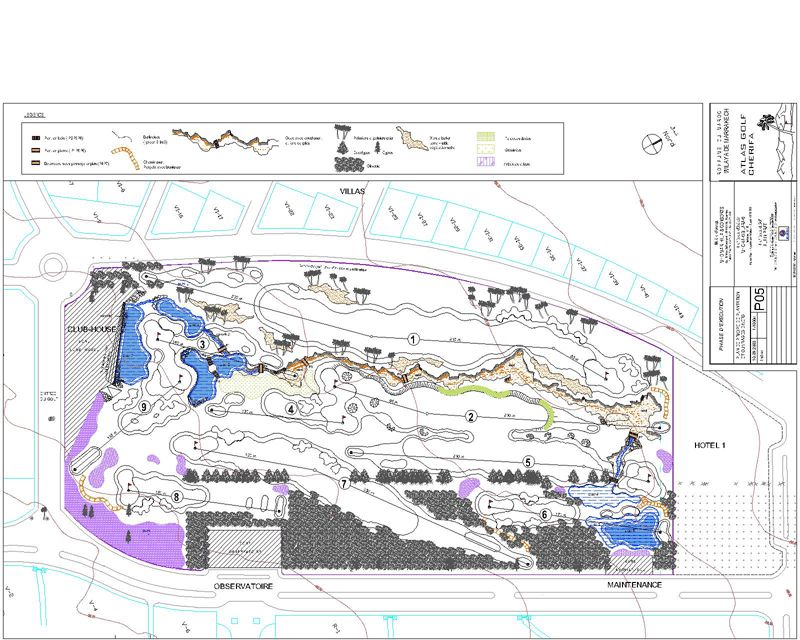
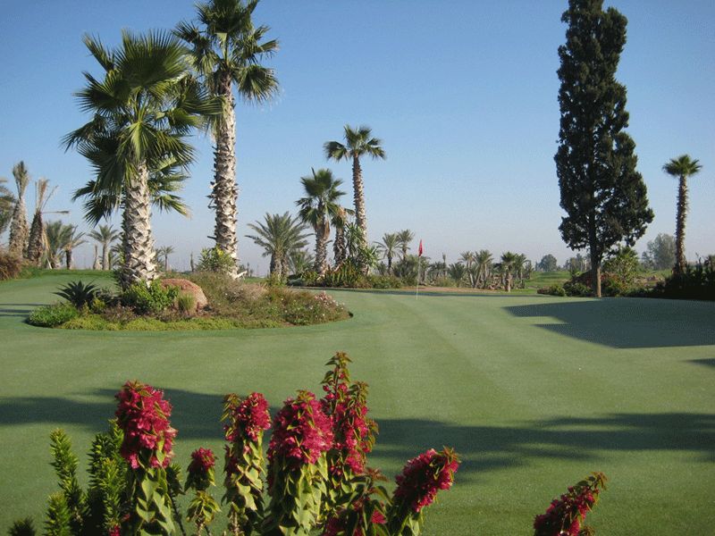
Architect : Alain Prat
Imprimer cette page
Rock arrangement and waterfall

Rock arrangement and waterfall

Contre-jour of the waterfall

General view

General view

General view of the golf course

View of the Atlas mountains

View of the Atlas mountains

Stretch of water in the foreground and mountains in the background

Waves on the fairway

Waves on the fairway

Fairway and bunker

Contour map of the project

Contour map of the project

3D modeling of the contour lines of the project with Land Designer

Rock arrangements and lawn

Rock arrangements and lawn

Rocky islands in the lawn

Site plan of the development

Site plan of the development

Site plan with Autocad

Lush island in a sea of grass

Lush island in a sea of grass

Planted bunker on a green

Development near a water reserve

Development near a water reserve

Palm-trees near the water